Marking Territories?
Mapping the boundaries of the St Paul’s ‘Apartheid-Free Zone’
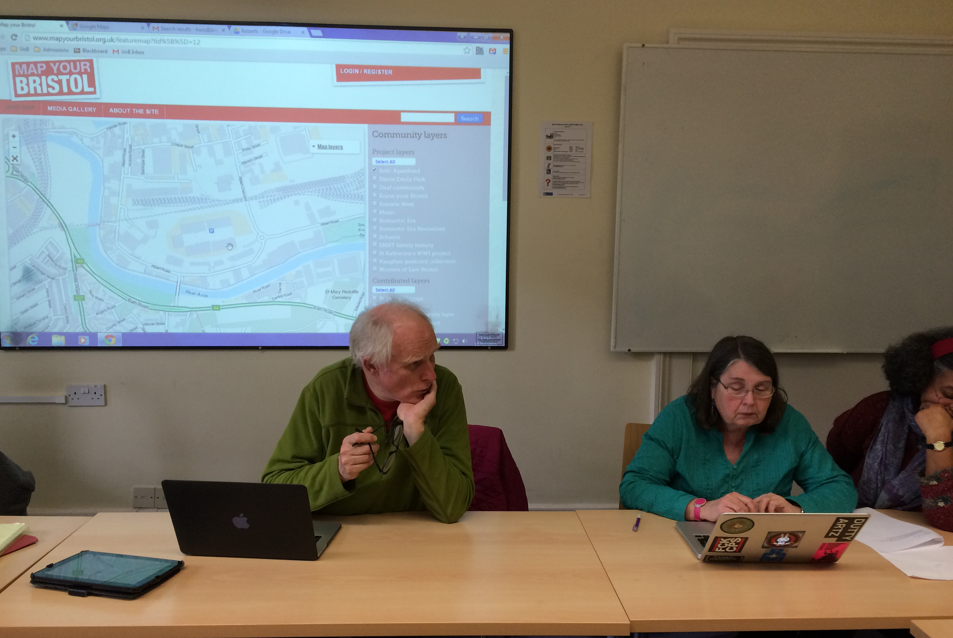
Last month, I was pleased to participate, alongside Bristol Action for Southern Africa members, in the first stage of producing the ‘Anti-Apartheid’ layer of the Map Your Bristol website. It was remarkable how quickly the framework of a map of anti-apartheid activism in Bristol was generated, testament to the simplicity of the web-site’s editing tools. Within half an hour, we were beginning to see a distribution of significant sites of anti-apartheid activism in Bristol. The map layer now highlights protests at the Memorial Stadium and the Bristol Lawn Tennis Club, Anti-Apartheid Breakfasts outside the Wholesale Fruit Market in St Phillip’s Marsh, as well as the locations of regular protests against shops and banks that maintained connections with the apartheid regime.
Watching one former activist plot the scenes of a series of protests outside Bristol petrol stations, many now abandoned after large supermarket chains captured the market, it struck me that as an unintended consequence of our efforts to sketch the historical geography of anti-apartheid, our map was also illuminating the vanishing landscapes of post-modern Britain. At the same time, the garage forecourt continues to be a site of protest – a reminder that the history of anti-apartheid is far more than a narrative of a singular struggle now ‘won’, but an account that reveals something of the creativity, routines and practices associated with modern cultures of protest.
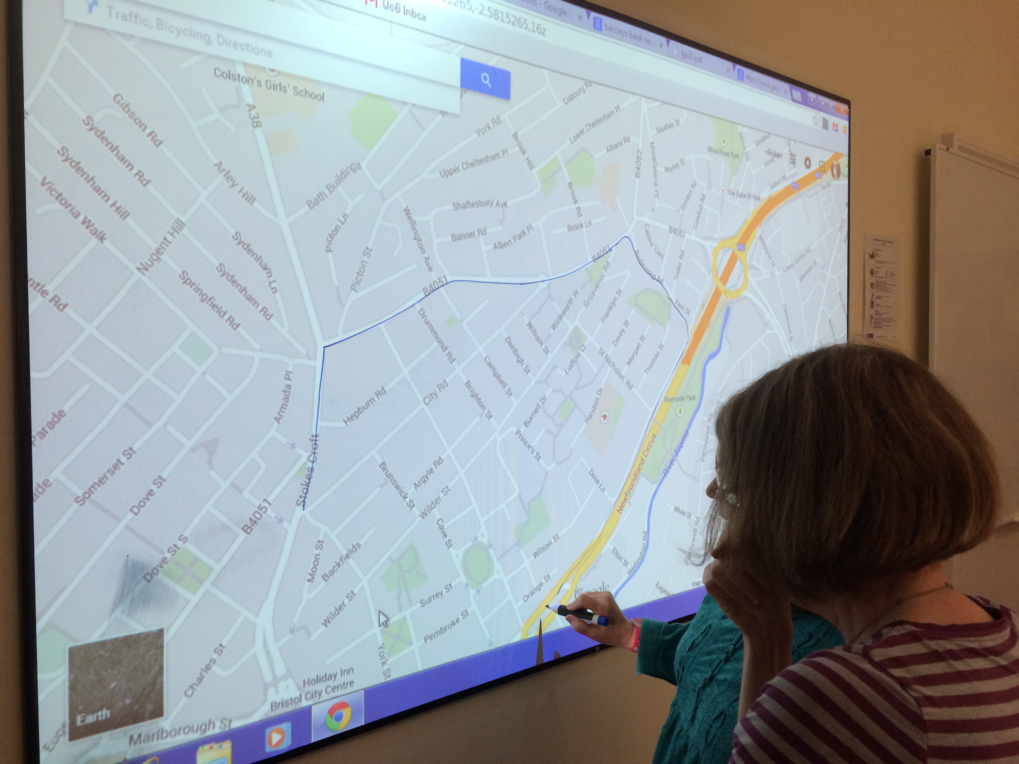
Incorporated in the anti-apartheid map is an outline sketch of the St Paul’s Apartheid-Free Zone, a community-led boycott movement that embodied the ‘visible, physical act of solidarity’ that James Jasper has described as the distinctive characteristic of local boycott campaigns. But, as an expression of community activism, should the boundaries of the Apartheid-Free Zone be defined at all? The zone was ‘unofficial’, with flexible borders defined by performance and collective consensus. So, have we ‘fixed’ the boundaries of the St Paul’s Apartheid-Free Zone? I hope not. Rather, I hope that the Anti-Apartheid layer of Map Your Bristol might be a springboard for debate, discussion and, indeed, the re-telling of stories of protest and community politics across the city and beyond.
If you would like to enter the discussion about Bristol’s anti-apartheid past, and the history of the St Paul’s Apartheid-Free Zone, please comment below, or contact me via email: robert.skinner@bristol.ac.uk